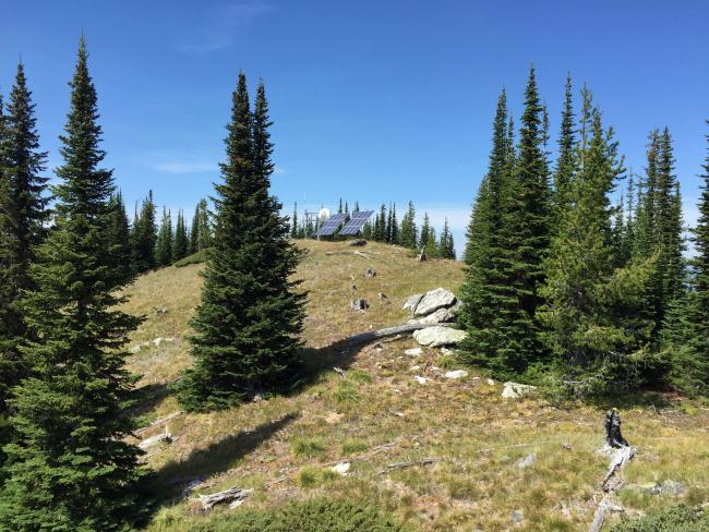
Point 118 hosts a Missoula County communication site. It is a rocky prominence with excellent views of the distant Selway- Bitterroot Wilderness’ rugged northern mountains. Access is by foot or bicycle on a permanently gated road. The summit is approximately 200 feet from this communication site. I experienced no RF interference or desense from the communications site at the summit. There are various sized trees available for hanging antennas or attaching antenna poles.
Hike or Bike miles roundtrip: 4
Elevation gain: 475’
Water: none along the trail
Bear Spray: Recommended for all Montana hikes
Map: Lolo National Forest, Missoula Ranger District
Directions: From Lolo Montana travel west on Highway 12 for approximately 10 miles. Turn south on USFS road #451, Elk Meadows for 8.25 miles. Turn west onto FS#37 for approximately 3.6 miles. Gated FS#4298 at a major road junction takes you to the summit in 2 miles.


